
Aksum: A Red Sea Power in Late Antiquity
Aksum grew into a major state of the northern Horn whose political center lay in the highlands while its commercial, diplomatic, and military reach extended toward the Red Sea and beyond.
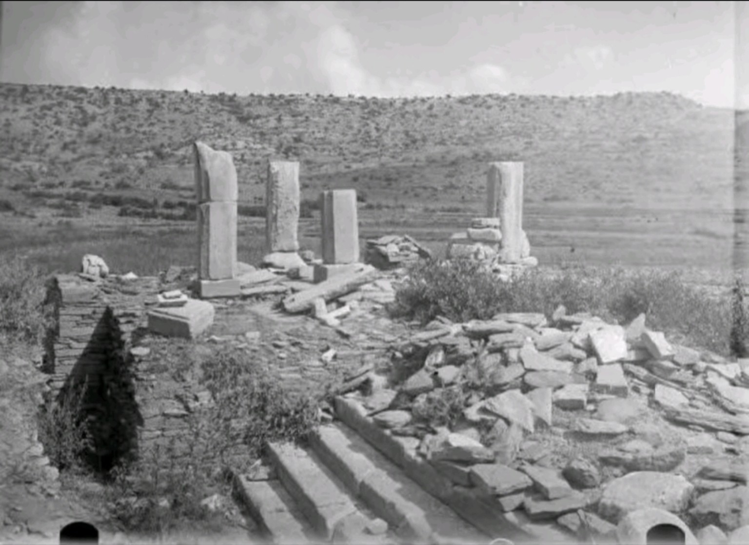
Contextual project image. It illustrates monumental architecture but is not presented as a photograph of a specific Aksumite monument unless provenance establishes that identification.
A highland kingdom with maritime reach
Aksum developed in the highlands of the northern Horn while participating in commercial and political networks that reached the Red Sea, Arabia, the Nile world, and the wider Indian Ocean trading system.
Archaeology, inscriptions, coinage, and written sources show that Aksum was not an isolated inland kingdom. Its history was closely connected to routes linking the highland interior with the Red Sea coast.
The political geography of Aksum changed through time. Maps showing a single fixed territorial boundary should therefore be understood as modern reconstructions tied to particular periods rather than permanent borders.
Aksum and Adulis
Adulis was one of the most important Red Sea ports associated with the Aksumite world. Through coastal exchange, the highland kingdom participated in networks carrying goods, people, technologies, languages, and political influence across northeastern Africa and the Red Sea.
The relationship between the highland political center and maritime ports is one reason Aksum is best studied both as a northern-Horn highland civilization and as a participant in wider Red Sea and Indian Ocean systems.
Monuments and political display
The monumental stelae at Aksum include some of the most technically ambitious monolithic monuments surviving from the ancient northern Horn.
Their quarrying, carving, transport, erection, architectural detailing, and association with elite funerary contexts demonstrate access to skilled labor, engineering knowledge, organized resources, and substantial elite patronage.
Inscriptions as royal voice
Royal inscriptions are among the most important sources for reconstructing Aksumite political history. They preserve titles, military claims, religious formulas, royal names, and accounts of campaigns.
Inscriptions associated with King Ezana survive in more than one linguistic and script tradition. This makes the Aksumite record especially useful for studying how royal authority was communicated to different audiences.
These texts must still be read critically. Royal inscriptions represent the ruler's public message. Victory, legitimacy, conquest, divine favor, and authority may be emphasized because those were precisely the ideas the inscription was intended to communicate.
Coinage and authority
Aksumite coinage provides another major body of evidence. Coins carry royal names, portraits, inscriptions, symbols, and changing religious imagery.
Because coins circulated differently from monumental inscriptions, they provide another window into chronology, political messaging, economic networks, religious change, and long-distance exchange.
Aksum in Late Antiquity
By Late Antiquity, Aksum participated in a world connecting northeastern Africa with Arabia, the eastern Mediterranean, the Nile Valley, and Indian Ocean commerce.
This wider setting matters. Aksumite political power developed from a highland landscape with deep earlier roots, but its rulers also operated within long-distance systems of trade, diplomacy, conflict, and religious exchange.
Political reach must be dated
Aksum's sphere of influence was not static. Royal inscriptions, coin finds, archaeology, trade evidence, and external texts can indicate political or economic reach, but each source belongs to a specific context and period.
A map that combines evidence from several centuries into one maximum outline can exaggerate the permanence of political control.
What can be said securely
Aksum was a major political center of the northern Horn. Its archaeological record includes monumental architecture, elite funerary construction, inscriptions, coinage, imported and locally produced objects, and evidence of long-distance exchange.
Its political influence varied through time. The exact extent of direct control in different centuries must be reconstructed from dated evidence rather than assumed from a single generalized map.
Evidence: monuments, inscriptions, coins, archaeological contexts, imported and exported goods, settlement remains, and ancient texts.
Interpretation: arguments about political organization, economic power, religious change, diplomacy, and regional influence.
Reconstruction: maps, territorial models, and larger historical narratives extending beyond what individual sources directly state.