
Horizon Astronomy: How Ancient Landscapes Can Track the Sun
The Sun does not rise and set at exactly the same points throughout the year. Repeated observation of those changing positions against a stable horizon can turn mountains, ridges, notches, towers, and other landmarks into practical seasonal reference points.
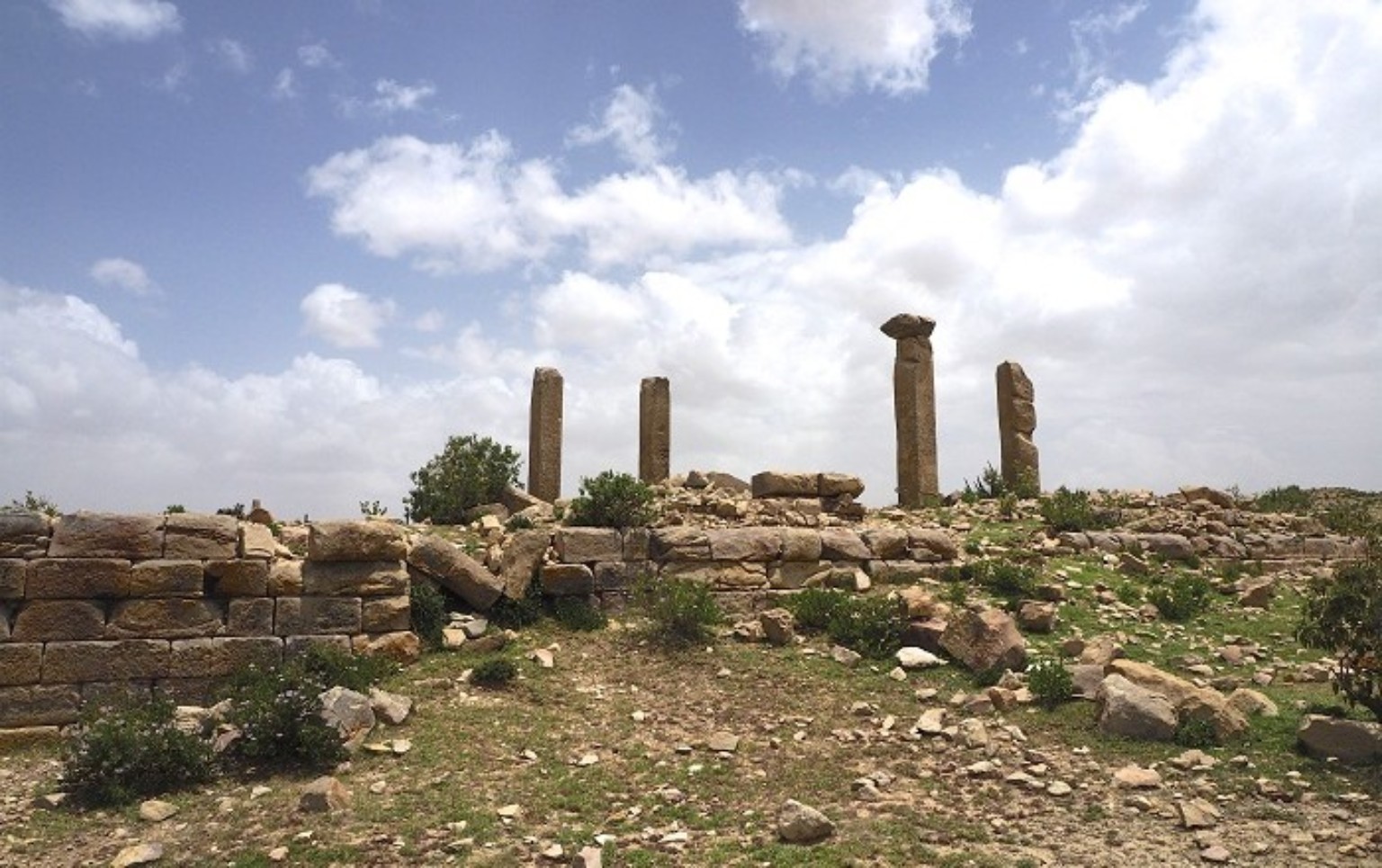
Contextual project image used to illustrate the observational method. It is not presented as evidence that this particular landscape functioned as an ancient observatory or calendar marker.
The principle is simple
From a fixed location, the Sun's rising position shifts along the eastern horizon during the year.
Its setting position changes correspondingly along the western horizon.
The movement is gradual. The Sun reaches one seasonal extreme, reverses direction, travels across its annual range, reaches the opposite extreme, and returns.
A stable horizon can therefore act as a natural measuring scale.
+
stable horizon
+
repeated solar observations
=
practical seasonal reference system
The horizon is not just background
A distant ridge or mountain can function as a positional reference.
A notch, summit, cliff edge, tower, standing stone, doorway, or other architectural feature can provide a repeatable marker against which celestial movement is recorded.
But the marker only has meaning in relation to a defined observation point.
Change the observer's position and the apparent relationship between the celestial body and the landmark changes.
The observation point matters
One of the most important requirements in archaeoastronomy is defining where the observer would have stood.
observation point
coordinates
elevation
direction of view
horizon feature
horizon azimuth
horizon altitude
celestial event
archaeological relationship between observer and marker
Azimuth
Horizontal direction is commonly described using azimuth.
East = 90°
South = 180°
West = 270°
The Sun's rising and setting azimuths change through the year because solar declination changes.
Horizon altitude
A mountainous skyline is not equivalent to a flat sea horizon.
If a ridge stands above the astronomical horizon, the Sun must rise to that apparent altitude before becoming visible.
A proper calculation must therefore consider both horizontal direction and vertical horizon altitude.
Solar declination
Solar declination describes the Sun's angular position north or south of the celestial equator.
As declination changes through the year, the Sun's apparent rising and setting positions migrate along the horizon.
This predictable annual pattern is the astronomical basis of horizon solar observation.
Solstices
Near the solstices, the Sun reaches the extreme ends of its annual horizon range.
Around each turning point, the day-to-day shift in rising or setting position becomes relatively small.
These extreme positions can therefore provide useful seasonal reference points.
Equinoxes
Around the equinoxes, the Sun crosses the celestial equator.
On an ideal level astronomical horizon, sunrise occurs close to due east and sunset close to due west.
A real observed horizon can shift the apparent event because of local topography, atmospheric refraction, and the chosen definition of sunrise or sunset.
Latitude matters
The visible annual solar range depends on the observer's latitude.
A horizon system reconstructed for one region cannot simply be transferred unchanged to another latitude.
This matters when comparing astronomical traditions from the northern Horn, Mesopotamia, the Mediterranean, or other parts of the world.
Atmospheric refraction
Near the horizon, Earth's atmosphere bends incoming light.
The Sun can therefore appear slightly higher than its purely geometric position.
Modern archaeoastronomical calculations account for refraction where the required precision justifies it.
The solar disc has size
“Sunrise” is not one exact observational definition unless the researcher specifies which part of the solar disc is being measured.
center of the solar disc
complete disc above the local horizon
A repeatable field program should use the same definition throughout.
Seasonal timekeeping without a clock
Horizon astronomy does not require a mechanical clock.
An observer returning repeatedly to the same location can track whether sunrise is moving toward or away from a particular ridge, summit, gap, or other marker.
Over repeated seasonal cycles, those positions can provide practical information about the progress of the year.
Landscape markers as memory
A distinctive natural feature can make recurring seasonal knowledge easier to remember and transmit.
Instead of preserving an abstract angle numerically, a community could remember an event in relation to a recognizable mountain, gap, tower, or stone.
That possibility is plausible in general. Demonstrating that it occurred at a particular historical site requires independent evidence.
Natural marker or constructed marker?
Horizon observation can use both natural and built features.
Mountains, escarpments, and notches are naturally present. Towers, stelae, walls, doorways, platforms, and other monuments are human constructions.
Constructed markers can sometimes provide stronger evidence of intention, but only when their chronology, orientation, context, and celestial relationship are independently demonstrated.
Orientation alone is not enough
Every structure has an orientation.
If researchers test enough celestial objects and enough dates, some apparent relationships can occur by chance.
Archaeoastronomy therefore requires more than measuring a direction and finding a celestial event near it.
the observation point is archaeologically meaningful
the structure is securely dated
the horizon target is clearly defined
the astronomical event is appropriate to the site's date and latitude
similar relationships recur in a meaningful pattern
textual, ritual, iconographic, or other cultural evidence supports the interpretation
competing practical explanations have been examined
Test alternative explanations
Architecture can face a particular direction because of terrain, drainage, access, prevailing building practice, neighboring structures, defense, construction convenience, or other practical constraints.
A celestial explanation becomes more persuasive when it explains the evidence better than realistic alternatives.
Chankillo as a methodological comparison
Chankillo in Peru is a useful comparative case because its astronomical interpretation does not depend on one isolated directional coincidence.
Its thirteen towers form a distinctive horizon sequence whose relationship with annual solar rising and setting positions can be evaluated from specific observation points.
Archaeology, architecture, observation position, horizon geometry, and solar motion can therefore be considered together.
Thirteen towers do not prove thirteen HCM Houses
Numerical resemblance is a valid reason to ask a comparative question.
It is not evidence of historical identity by itself.
13 towers in their own archaeological system
≠
HCM-364
13 Celestial Houses in the WHEN coordinate
A connection would require independent chronological, structural, and historical evidence.
Applying the method to the northern Horn
The northern Horn contains complex natural horizons: mountain peaks, escarpments, ridges, passes, volcanic formations, cliffs, and long-distance sightlines.
Such landscapes make systematic horizon astronomy a legitimate field research method.
The important historical question is not whether celestial bodies can be measured against those horizons. They can.
The historical question is whether particular ancient communities intentionally incorporated such observations into calendars, ritual, architecture, agriculture, navigation, or political practice.
A proper field record
site name
observation-point coordinates
elevation
date
local time
direction of observation
horizon azimuth
horizon altitude
celestial body or event
definition of first visibility / center / full disc
weather and atmospheric conditions
photograph from the fixed position
archaeological notes
confidence level
Repeat observations
One photograph rarely establishes a seasonal system.
Repeated observations across days and seasons help distinguish an actual pattern from camera placement, weather, atmospheric effects, memory, or coincidence.
A fixed surveyed observation point makes the dataset substantially stronger.
Modern calculations can test ancient possibilities
Astronomical software can calculate the positions of the Sun, Moon, planets, and stars for particular locations and dates.
For sufficiently ancient dates, long-term effects such as precession may also need to be considered depending on the target being studied.
These calculations are most useful when they test hypotheses derived from archaeology rather than generating unlimited possible alignments.
Archaeology should constrain the date
An alignment calculated for a specific ancient period is relevant only if the monument, occupation phase, or observation setting plausibly belongs to that period.
Otherwise, a researcher can unintentionally search across many centuries until an attractive astronomical match appears.
Textual evidence can strengthen a case
An inscription or ancient text referring to seasons, months, celestial bodies, rising, setting, gates, festivals, or another relevant concept can strengthen an astronomical interpretation when securely associated with the site.
The wording still has to be interpreted in its own linguistic and cultural context.
A general reference to the Sun or another celestial body does not automatically establish a precise architectural alignment.
Ritual timing is another evidence stream
If independent evidence places a ceremony at a particular seasonal point, a corresponding celestial relationship may become historically more significant.
+
measured orientation
+
astronomy
+
chronology
+
cultural evidence
=
stronger historical argument
Observation is not ancient attribution
A modern observer may successfully use a mountain ridge to track the annual Sun.
That demonstrates that the landscape is capable of functioning as a solar reference.
It does not establish that ancient inhabitants used the same landmark from the same observation point for the same purpose.
Historically interpreted: an ancient community intentionally used it.
These are different claims.
Where HCM-364 enters
HCM-364 can use horizon observations to test predictions derived from its reconstructed celestial framework.
For example, a proposed temporal transition or celestial relationship could be translated into a specific observational prediction.
The prediction should be recorded before researchers decide whether the field result supports it.
HCM makes a defined prediction
↓
observation tests that prediction
↓
result is recorded whether supportive or contradictory
Weaker test
collect many alignments
↓
select only those that resemble HCM afterward
A falsifiable reconstruction is stronger
A research model becomes more useful when a possible observation could show that it is wrong.
If HCM-364 predicts a repeatable astronomical relationship and accurate field observations consistently contradict it, the relevant part of the reconstruction should be revised.
A model that accepts every possible result cannot be meaningfully tested.
Keep the evidence levels separate
What would count as strong ancient-Horn evidence?
+
repeatable observation point
+
measured horizon target
+
meaningful orientation pattern
+
astronomically appropriate event
+
textual, ritual, calendrical, iconographic, or other cultural support
+
testing of practical alternative explanations
The strongest current conclusion
Horizon astronomy is a real and repeatable observational method.
The annual movement of sunrise and sunset can make a stable landscape function as a seasonal reference frame.
Archaeological attribution requires a higher standard.
A visible alignment becomes evidence for ancient intentionality only when astronomical measurement converges with archaeology, chronology, and cultural evidence.
solar horizon positions change predictably through the year and can be measured against stable landmarks.
[B] Defensible comparative
documented sites such as Chankillo demonstrate that some ancient societies intentionally incorporated horizon solar observation into constructed landscapes.
[C] HCM reconstruction
any claim that a particular northern-Horn feature, monument, House, Gate, or seasonal boundary formed part of HCM-364 remains a testable reconstruction until independent historical evidence supports it.